
Opening the way through the logjams
The field film follows selective openings through river obstructions so people and equipment can reach the work downstream.
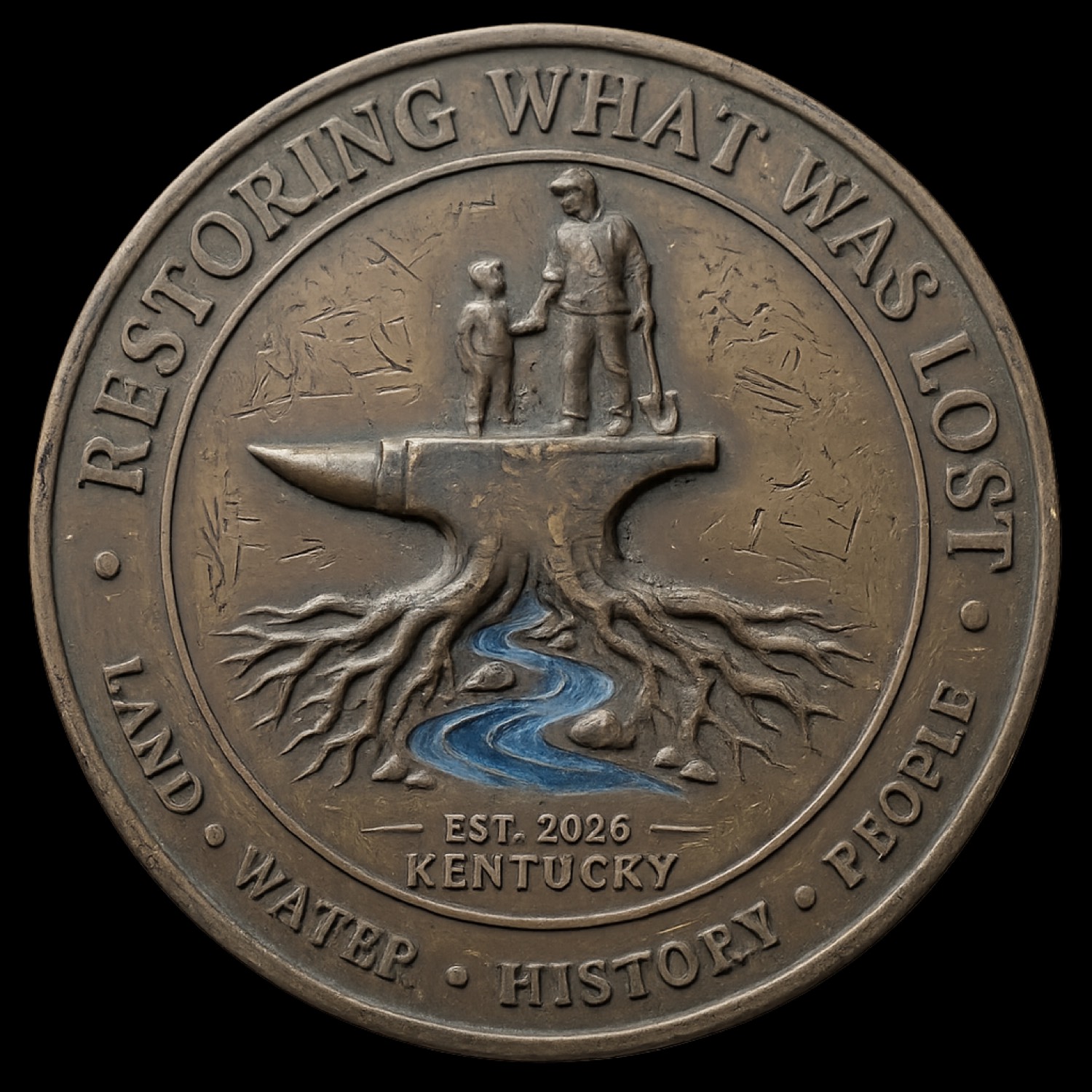
Film publishedWe’re a local nonprofit restoring land and waterways and preserving local history, starting with our lead project on the Little Sandy River.
The river project combines cleanup, mapping, history, public safety, documentary media, and long-term watershed planning. It is the first full demonstration of how Restoring What Was Lost works.

The field film follows selective openings through river obstructions so people and equipment can reach the work downstream.
Film publishedFollow the corridor from Grayson Lake past the water intake as tire piles, dumping, obstructions, and access points enter the record.
Film publishedField project 01The River Record Little Sandy River
A Restoring What Was Lost, Inc. initiative
One flagship project. The full method in motion.
The Little Sandy connects restoration, research, local history, public education, mapping, and a record others can use.
View all mapped field locationsLand, water, households, history, and public knowledge cannot be treated as isolated problems.
Limited mission-based help restoring safe access and essential use.
Field inventory, cleanup, access, monitoring, and long-term records.
Oral history, sites, documents, and the stories carried by place.
Workshops, documentary media, youth learning, and field-based teaching.
Maps, photographs, field notes, and reusable methods for rural restoration.
We made these paper models for hands-on learning, in a shared approximate 1:36 scale. Anyone is welcome to download and print them for a classroom, family activity, or community display.
Browse the free printables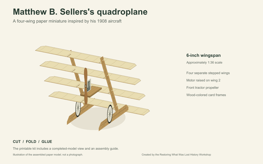
Find a Kentucky watershed project and connect with its local team. Participating groups have their own space for photo reports, maps, and coordinated work.
Start with Little Sandy, explore projects across the state, or request lead access for your group. Each activated workspace has a local team responsible for review.
The practice demo uses a sample map. No account is needed and nothing is submitted.
Your picture is secured and waiting for project-team review.
The working Watershed Eye reporting flow · Try the practice demo
A story of Grahn and Little Sinking Creek, exploring Karl Grahn, the working brickyard, underground mines, and the generations of families who shaped this community.
Little Sinking Creek–Little Sandy River watershed
HUC12 050901040304. The film preserves the human story of this part of the Little Sandy watershed.
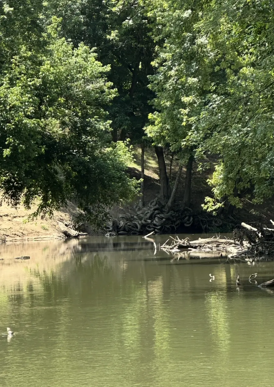
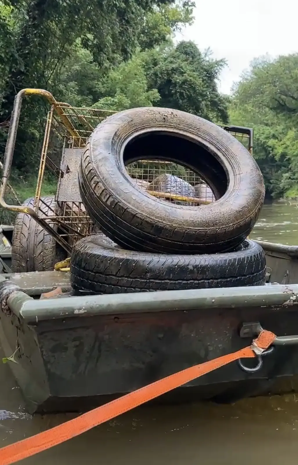
Obstructions on the river. Tires lifted into a boat. Recovered material secured for transport. These photographs show where the work begins.
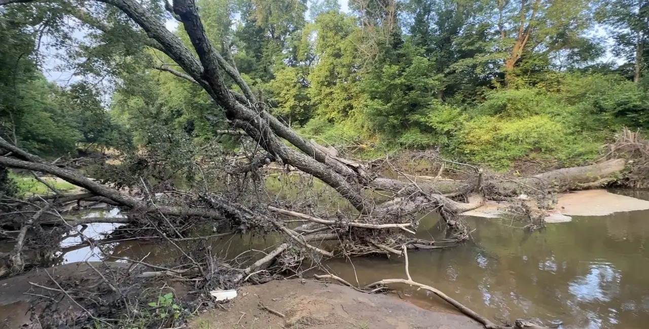
Access, location, scale, and immediate hazards are photographed before the work and its safe scope are defined.
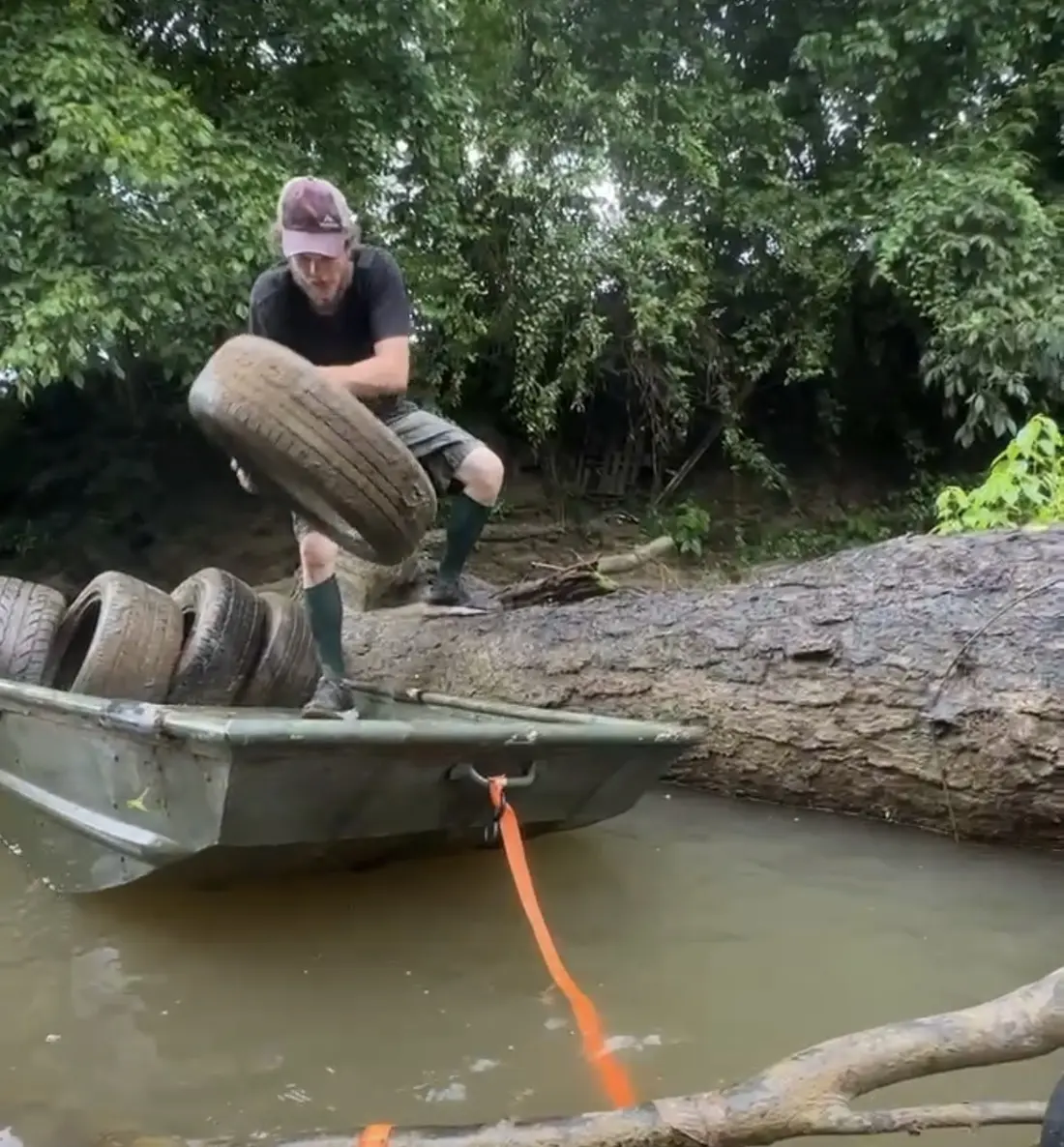
Tires and other debris are removed, loaded, and accounted for instead of disappearing into the next high water.
Recovered material, field conditions, and completed work remain connected to a usable project record.